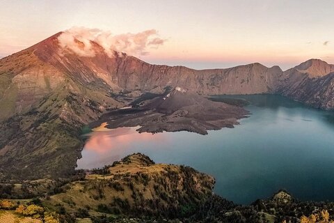
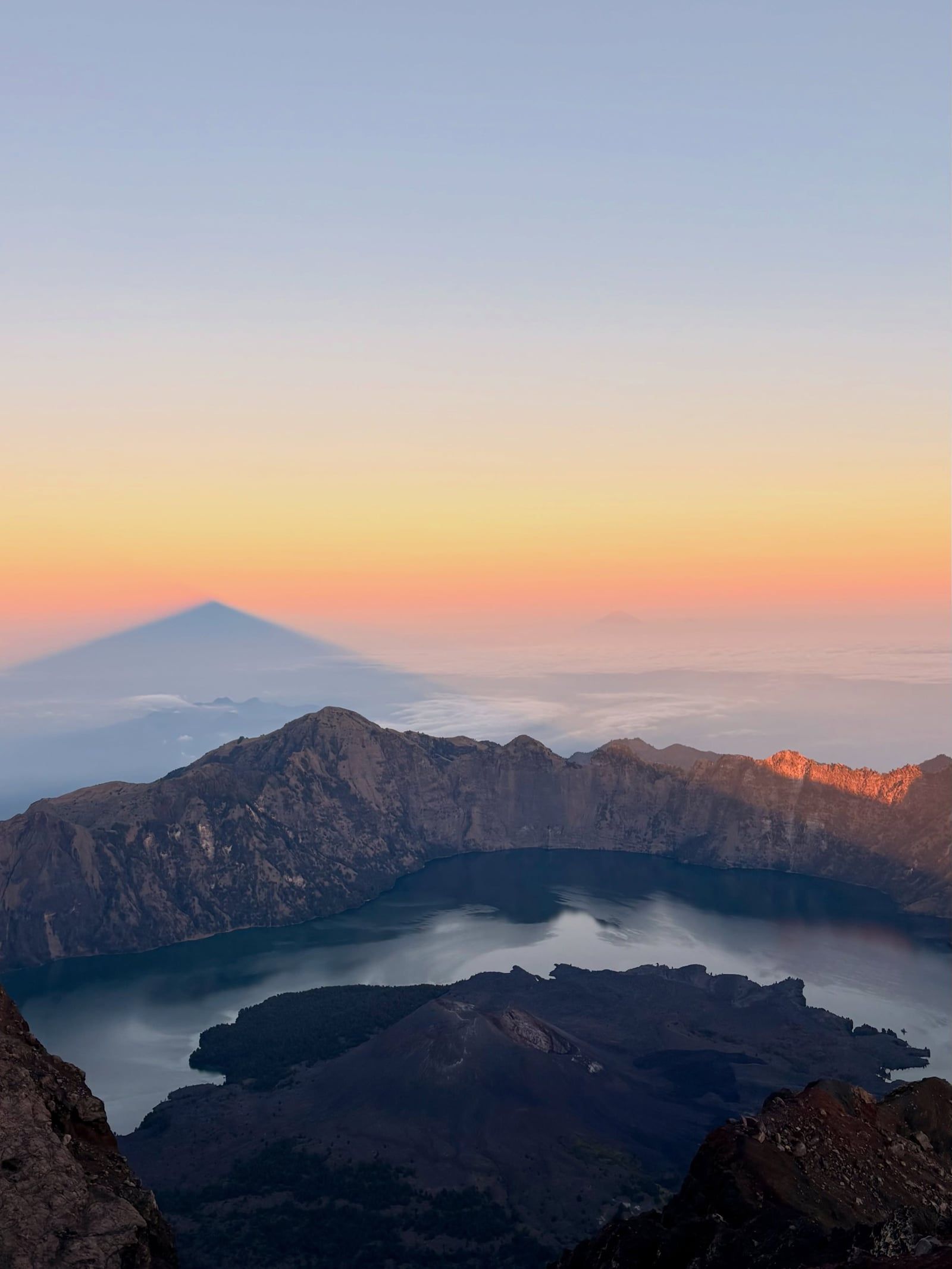
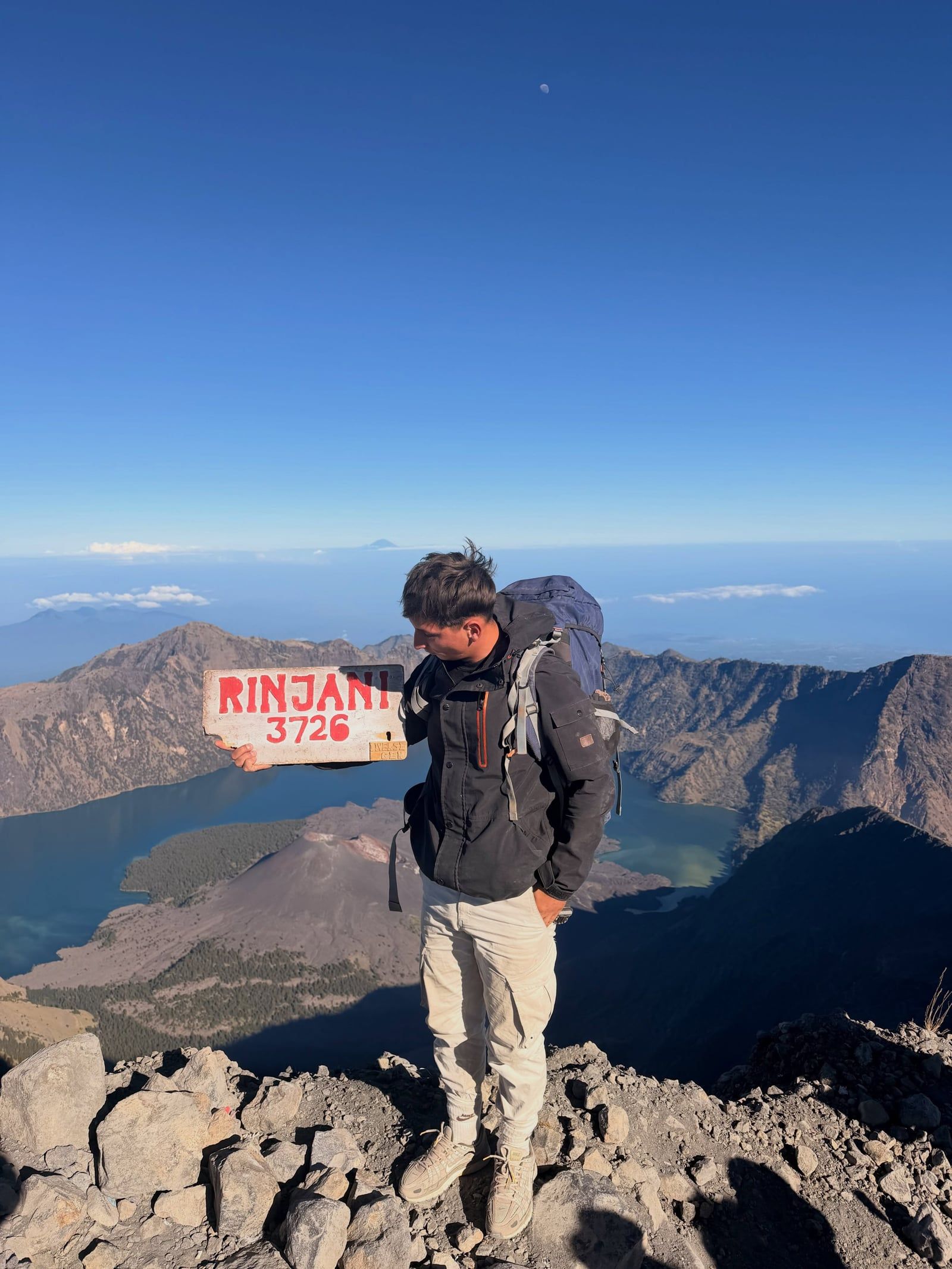
A 2:00 AM push up steep volcanic scree brings you to the 3,726-meter summit just as the sun rises over Bali and Sumbawa. Far below, the turquoise waters of Segara Anak Lake fill a massive caldera, flanked by natural hot springs where tired trekkers soak their muscles.
Find Guided ToursMount Rinjani rises 3,726 meters over Lombok, making it Indonesia's second-highest volcano. It sits on the Sunda Arc, where oceanic crust subducts beneath the Australian continental shelf. The mountain anchors a 41,330-hectare national park established in 1997. It's right on the Wallacea line. Here, Southeast Asian rainforest species physically meet Australasian flora and fauna.
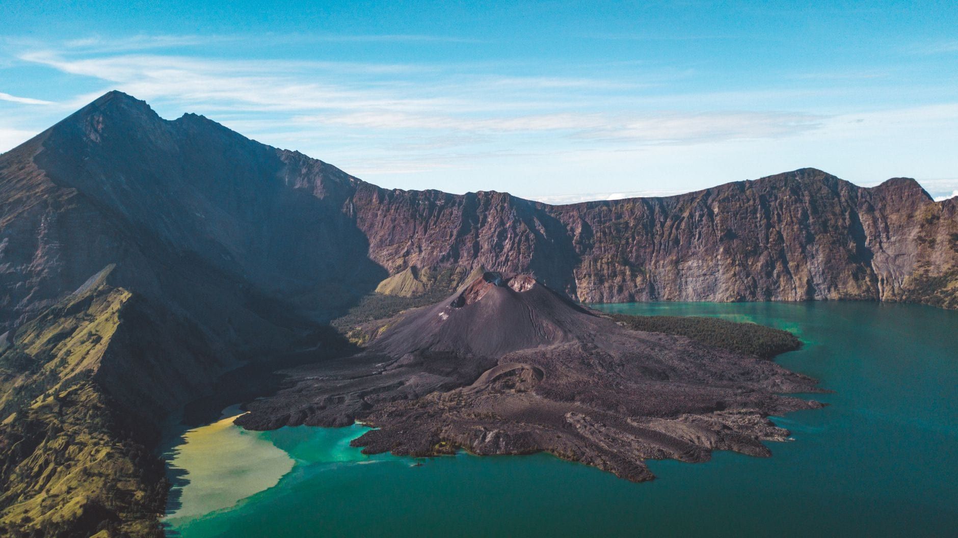
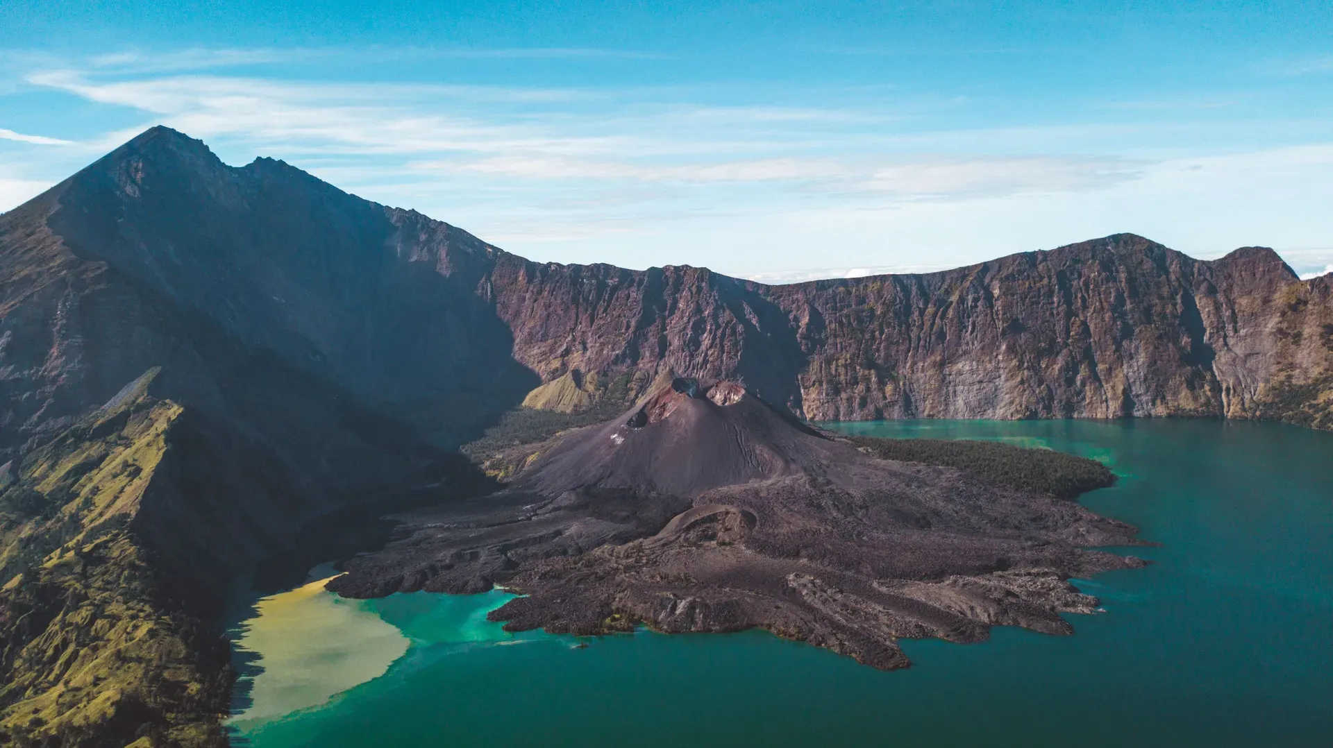
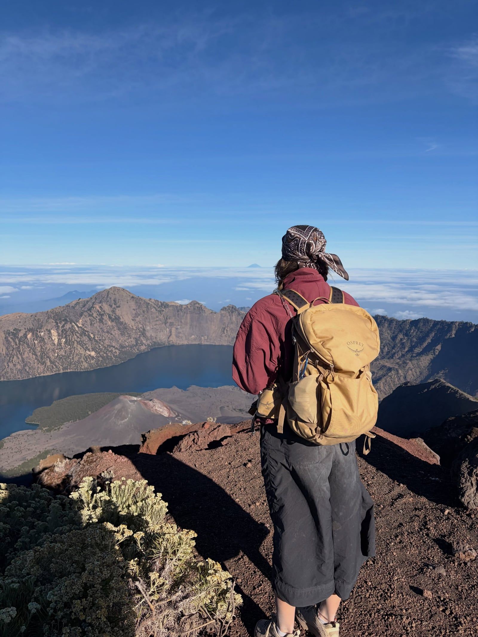
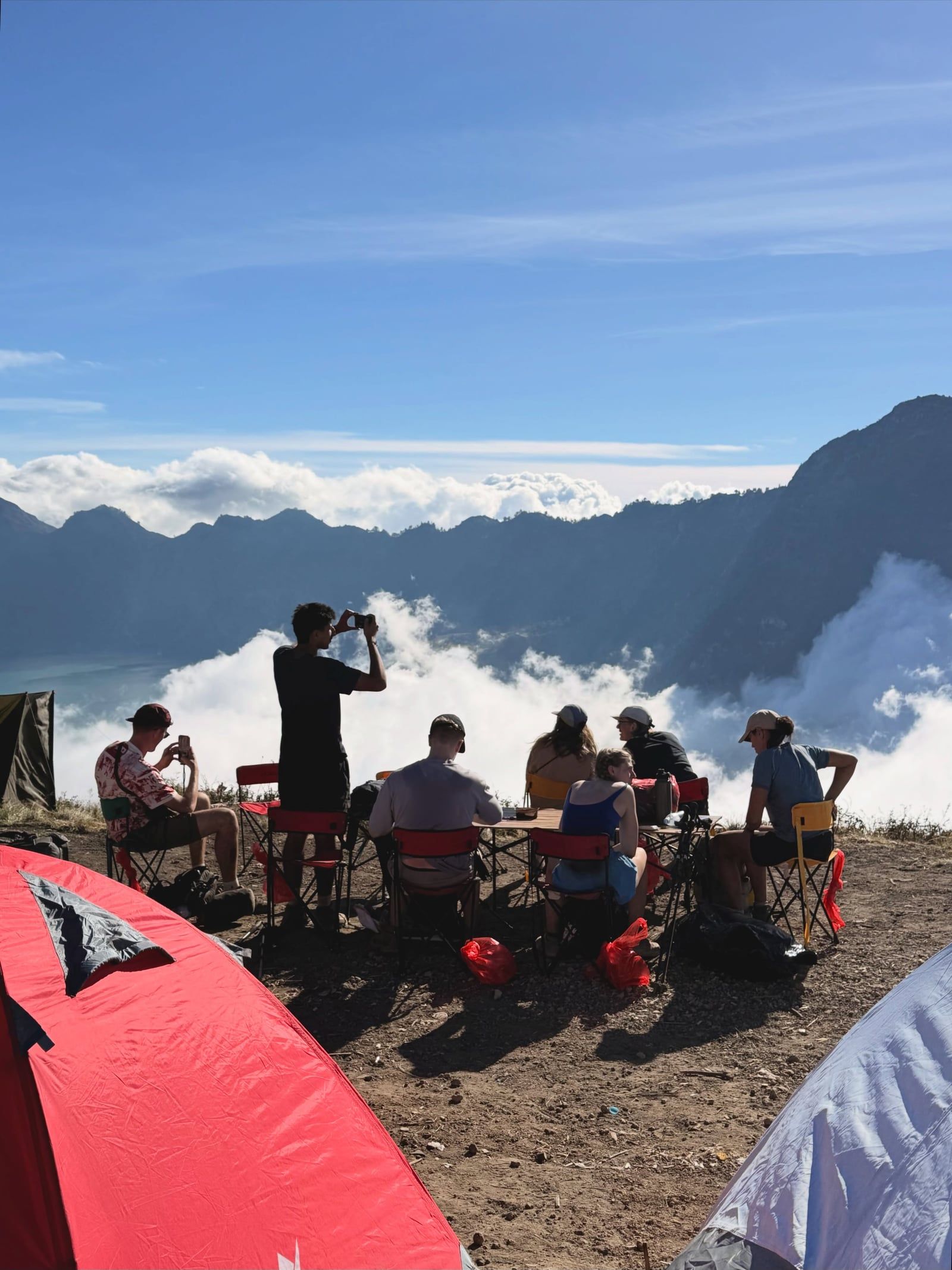
Most multi-day routes lead trekkers toward the 6-by-8.5-kilometer caldera. Inside sits Segara Anak, a turquoise crater lake roughly 2,000 meters above sea level and 200 meters deep. Natural hot springs flow over volcanic rock near the water's edge. The lake holds deep spiritual weight for the indigenous Sasak people and Balinese Hindus. They regularly make pilgrimages to the shore to leave offerings for the goddess Anjani.
That massive crater exists because of a catastrophic VEI-7 eruption in 1257. A former twin peak, Samalas, collapsed entirely. The blast fired an ash column 43 kilometers into the stratosphere—an event linked to global climate anomalies and the onset of the Little Ice Age.
Rinjani remains highly active. A newer post-caldera cone, Mount Barujari, pushes up directly from the lake. It recorded eruptions in 1994, 2004, 2009, 2010, 2015, and most recently on 27 September 2016. UNESCO added the entire caldera to its Global Geoparks Network in April 2018.
Discover the full history and cultural significance on our About page.
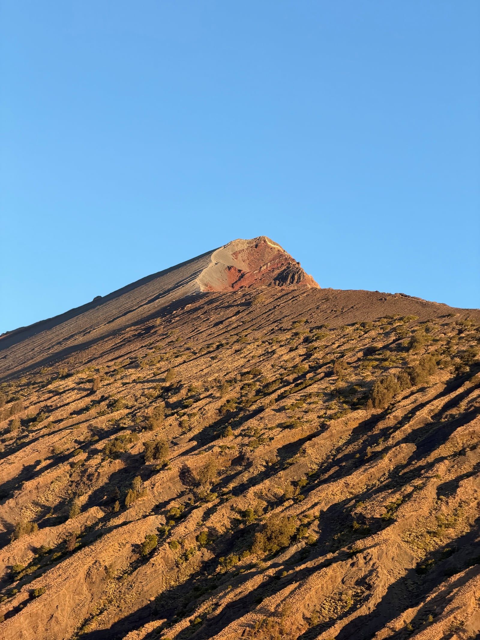
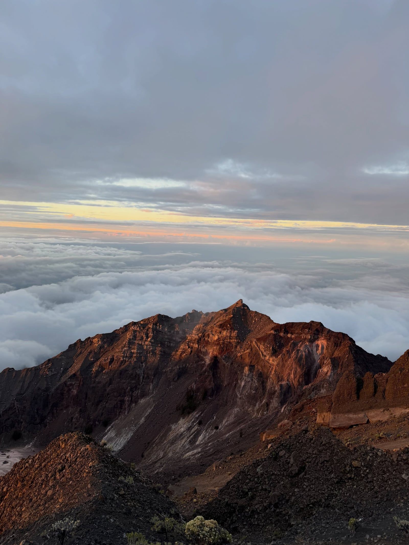
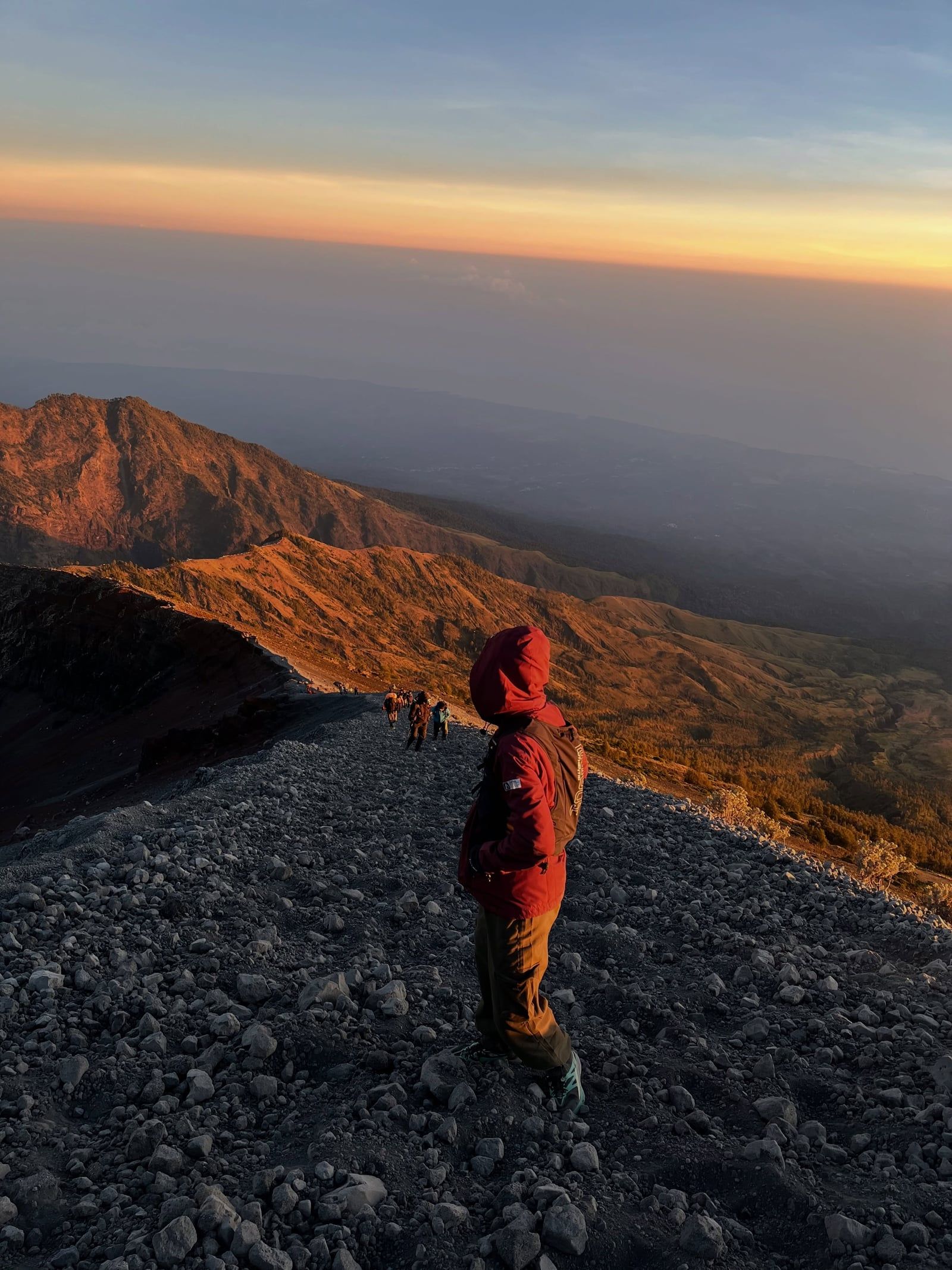
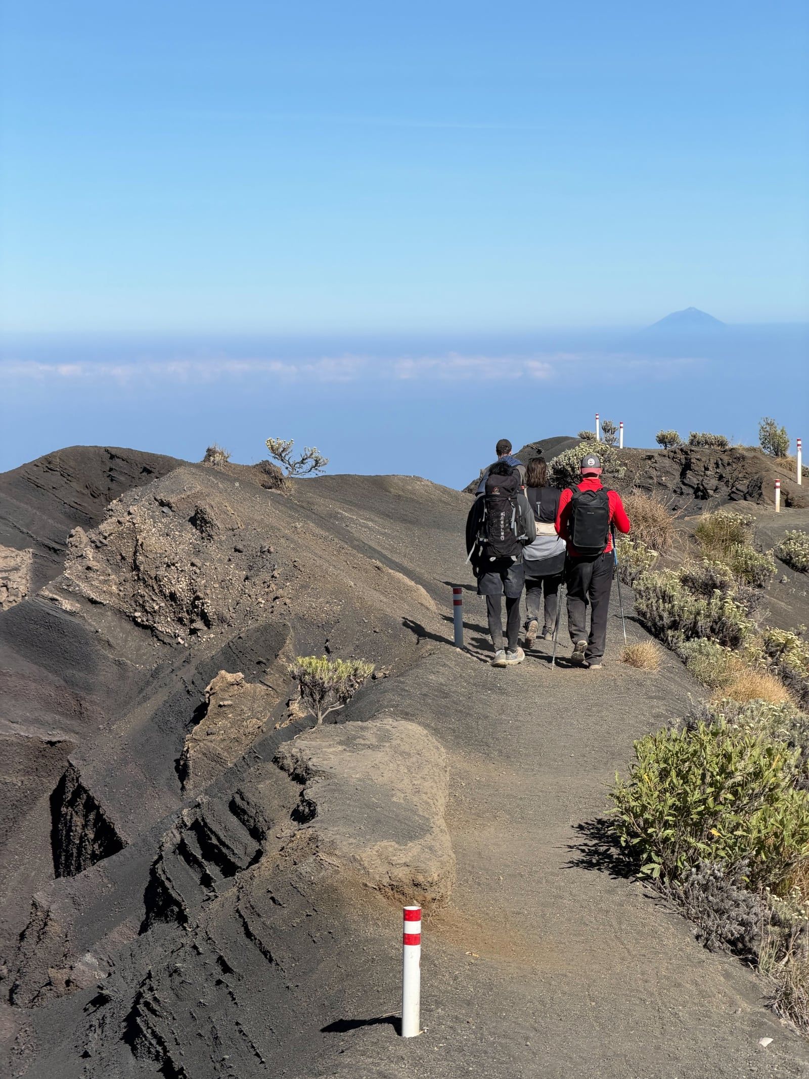
You start climbing at 2:00 AM from the Sembalun crater rim. Headlamps cut through the dark as you slog up steep, loose volcanic sand for three to four hours. Reach the 3,726-meter peak around sunrise. The view stretches all the way to Bali's Mount Agung.
After descending the crater walls, you reach Segara Anak Lake at 2,000 meters elevation. Just off the shore, warm sulfurous water flows over volcanic rocks at the Aik Kalak hot springs. It offers immediate relief for tired legs before you set up camp.
Most climbs start on the eastern side near Sembalun village. Instead of dense jungle, you hike through wide, rolling grasslands. The hills turn golden in the dry season. Wild edelweiss grows along the trail, offering a sharp visual break from the dark scree higher up.
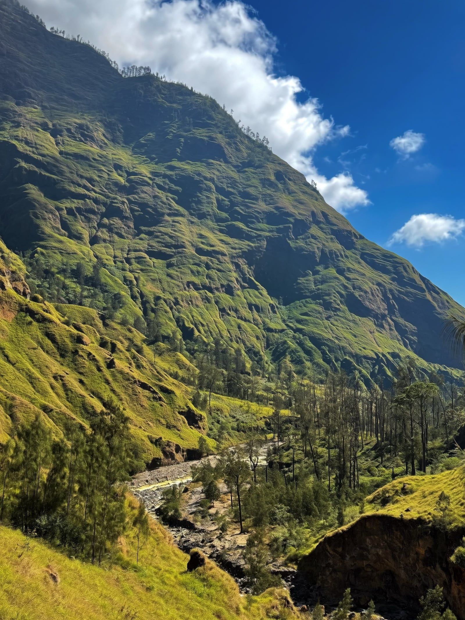
Coming down the northern Senaru route drops you into thick montane rainforest. The environment shifts entirely. You share the path with long-tailed macaques and native birds. A short walk near the trailhead leads to Tiu Kelep waterfall, a heavy cascade deep in the jungle.
Book a 48-hour crater hike or 72-hour summit trek starting at $152, with English-speaking guides, meals, and tents included.
Swipe to see more
May through October brings the most stable dry weather for trekking Mount Rinjani. Target May, September, or October for warm days and clear skies without the heavy peak-season crowds.
The park remains completely closed in March due to heavy rain. Trails reopen in April, transitioning into May's stable dry weather and lower crowd numbers.
These months deliver the clearest skies and peak dry season conditions. Expect heavy traffic on the trails and at campsites, particularly during July and August.
September and October provide warm days, dry weather, and fewer trekkers. November shifts into a shoulder period with rising humidity and rain, limiting hikers to shorter routes.
December brings increasing rain and humidity. From January through February, the national park officially closes all trekking routes due to severe landslide risks and dangerous trail conditions.
The park opens daily from 07:00 to 19:00 WITA between April 1 and December 31. Official gate check-in runs until 15:00 WITA, but you should finish by 13:00 WITA. That leaves enough daylight to reach your first campsite safely. The mountain shuts down completely from January 1 through March 31 due to heavy monsoon rains and landslide risks.
| Category | Price |
|---|---|
| Foreign Tourists (Sembalun, Senaru, Torean) | IDR 200,000 - 250,000 / day |
| Foreign Tourists (Timbanuh, Aik Berik, Tete Batu) | IDR 150,000 - 200,000 / day |
| Domestic Tourists (Sembalun, Senaru, Torean - Weekdays) | IDR 20,000 - 50,000 / day |
| Domestic Tourists (Sembalun, Senaru, Torean - Weekends) | IDR 30,000 - 75,000 / day |
| Domestic Tourists (Timbanuh, Aik Berik, Tete Batu - Weekdays) | IDR 10,000 - 20,000 / day |
| Domestic Tourists (Timbanuh, Aik Berik, Tete Batu - Weekends) | IDR 15,000 - 30,000 / day |
| Student Groups (Sembalun, Senaru, Torean) | IDR 10,000 - 25,000 / day |
| Student Groups (Timbanuh, Aik Berik, Tete Batu) | IDR 5,000 - 10,000 / day |
| Mandatory Trekking Insurance | IDR 290,000 / trek |
Every hiker needs an official e-Rinjani permit booked online before arriving. Foreigners must hike with a licensed guide and porter arranged through a registered trekking organizer. Daily quotas per route sell out fast in July and August. The listed entry fees reflect the 2026 TNGR update (effective November 3, 2025) and are charged per person, per day on the trail.
For complete schedules and ticket prices, visit our Hours & Fees page.
Fly into Lombok International Airport or take a fast boat to Bangsal Harbour on the northwest coast. From either arrival point, you hire a private car or taxi to reach the trailhead villages of Senaru or Sembalun.
📍 Gunung Rinjani National Park, Lombok, West Nusa Tenggara, Indonesia
Most international hikers start at Bali's Ngurah Rai Airport. A short flight lands you at Lombok International Airport in Praya. From there, you ride north to the gateway villages of Senaru or Sembalun. The drive covers about 65 to 90 kilometers. Trekking operators usually bundle this enclosed car transfer into your package.
Fast boats from Bali or the Gili Islands dock at Bangsal Harbour on Lombok's northwest coast. You then catch private transport or a shared shuttle for the remaining 40 to 60 kilometers. The road heads directly to Senaru, the primary northern base for the mountain. Expect the drive to take about an hour and a half.
Budget travelers can catch a public Damri bus from Lombok International Airport to Mataram. This is the island's main city. Once there, you transfer to a local bus or a shared minivan known as a bemo. These head directly to either Senaru or Sembalun. The total road distance spans roughly 60 to 80 kilometers.
Many hikers spend the night at the Senggigi beach resort town before their climb. A taxi or private car covers the 45 to 55 kilometers to Senaru in roughly two hours. Driving to the eastern gate at Sembalun takes a similar amount of time. Trekking organizers can easily arrange this pickup.
For detailed transport options and routes, visit our Directions page.
Official gate check-in runs until 3:00 PM WITA. Complete it by 1:00 PM instead. That buffer leaves enough daylight to reach your first campsite safely. Starting late means navigating steep, unpaved terrain in the dark.
Rangers enforce a strict pack-in, pack-out policy and inspect bags at the gate. Single-use plastics, wet wipes, glass bottles, and portable speakers are banned. Bring reusable water containers instead. Violators face equipment confiscation and a spot on the park's public blacklist.
Lombok is notoriously hot, but Rinjani's crater rim drops close to freezing after dark. Pack a beanie, gloves, and layered warm clothing. The final summit push starts around 2:00 AM on loose volcanic sand. Bring a reliable headlamp for this steep three-hour climb.
Volcanic ridges near the summit feature loose scree and severe drop-offs. Wandering off-path for a quick photo is genuinely dangerous. A tourist died in June 2025 after falling 500 meters from a ridge trail. Follow your guide's instructions and stick strictly to the marked route.
Most multi-day routes start at one village and end at another. You might hike up from Sembalun and descend into Senaru. Leave non-trekking bags with your operator at the base before setting off. You just need to arrange a ride back to collect them later.
You cannot hike Rinjani independently. Foreigners must hire a licensed guide and porter through a registered operator. Daily route quotas sell out quickly during the peak July and August season. Secure your e-Rinjani permit online well before arriving in Indonesia.
This waterfall requires a short river-crossing hike through dense rainforest near the Senaru trailhead. You'll likely spot long-tailed macaques along the path. It makes an easy excursion before starting your climb.
Onion and garlic farms surround this eastern gateway village. You can hike up Bukit Pergasingan for sunrise. The summit looks straight across the savanna at Rinjani itself.
Three car-free coral islands sit off the northwest coast. Trade your hiking boots for white sand and snorkeling with sea turtles. They provide a flat, quiet place to recover from the volcano.
Read what travelers share about their experience visiting Mount Rinjani — from practical tips to personal highlights.
Planning advice, comparisons, and practical tips.
Foreign trekkers pay an entrance fee of IDR 200,000 to 250,000 per day on the main Sembalun, Senaru, and Torean routes. You also have to buy mandatory trekking insurance for IDR 290,000 per person. Total package costs run several hundred dollars once you factor in the required guide and porter.
May to October brings the most stable dry weather. July and August offer the clearest skies but the heaviest crowds on the trails. Skip January through March entirely, as the national park officially closes to trekking due to heavy rain and landslide risks.
Take a 30-minute flight from Ngurah Rai Airport to Lombok International Airport, followed by a 2.5 to 3-hour drive to the trailhead villages of Senaru or Sembalun. Alternatively, you can catch a fast boat to the Gili Islands and transfer via Bangsal Harbour, which sits about 90 minutes from Senaru by car.
Yes. National park rules require all foreign tourists to hire a licensed guide and porter through a registered trekking organizer. Your operator will also handle the mandatory e-Rinjani permit, and one guide can lead a maximum of five hikers.
Most hikers book a 2-day, 1-night trip to reach the crater rim, or a 3-day, 2-night itinerary that adds a summit push and a descent to Segara Anak Lake. Ambitious routes crossing from Sembalun to Torean take up to five days.
Bring sturdy hiking boots, a headlamp for the 2:00 AM summit push, and layered warm clothing to handle near-freezing temperatures at the crater rim. Leave single-use plastics, wet wipes, glass, and portable speakers behind. Rangers enforce a strict pack-in, pack-out policy and will inspect your bags at the gate.
Only with high physical fitness. The trails lack paved infrastructure and involve steep, exposed ridges with loose volcanic sand. Guides recommend a minimum age of 10 for children, and older hikers with less experience should stick to the gentler 2-day crater rim route rather than attempting the 3,726-meter summit.
The park opens for trekking daily from 07:00 to 19:00 WITA. Official gate check-in runs until 15:00, but trekking operators advise finishing registration by 13:00. This ensures you have enough daylight to safely reach your first campsite.
Browse verified tours with free cancellation and instant confirmation.
Find Tours